"Land Bridge" Is the Most Misleading Phrase in British Prehistory
August 7, 2026 · 7 min read
In September 1931, a steam trawler called the Colinda was working the fishing grounds about forty kilometers off the Norfolk coast when the nets came up with a lump of peat in them. This was routine. East Anglian fishermen had their own word for the stuff — moorlog — and a working fleet does not coin a word for something it meets once. Moorlog came up constantly on certain grounds. It stank, it fouled the gear, it was worth nothing, and the standard response, refined over generations, was to curse it and heave it back over the side.
On this particular night, for reasons nobody recorded, the skipper broke the lump open on deck instead. His shovel struck something that was not peat: a slender point carved from antler, about twenty-one centimeters long, with a row of barbs worked along one edge. Not a bone. Not driftwood. A manufactured tool — a piece of hunting or fishing equipment, made with skill, in a style archaeologists would soon recognize from Stone Age sites in Denmark and England.
Here is why that object matters more than the tons of mammoth ivory the same fleets had been landing for decades. Bones can travel. Rivers wash carcasses out to sea; eroding cliffs dump ancient gravels into the water. A tusk on the seabed is a curiosity that could have gotten there. But peat cannot form underwater. It is made of land plants — reeds, sedges, mosses — accumulating in waterlogged ground over centuries. Every lump of moorlog the fleet had ever cursed was a piece of drowned bog, and a bog is a place on land. The point had been lost inside that bog while it was still a living fen. Which means a person once stood there — forty kilometers from the modern coast, under what is now thirty meters of North Sea — on dry ground, on foot.
Within a few years, the archaeological establishment accepted the implication: the bed of the North Sea had been inhabited land. And then, for roughly half a century, almost nothing happened. The finding was cited, taught, drawn on maps — and ignored. Part of the reason was practical: you could not excavate under thirty meters of cold, turbid, tide-swept water in 1935, or usefully in 1975. But part of the reason was a single phrase, and the phrase did damage the weather never could.
The drowned plain got filed under land bridge.
A bridge is defined by its ends
The phrase sounds harmless, even helpful. It is neither, because it smuggles in an entire way of seeing — and the way of seeing happens to be wrong.
A bridge exists so that traffic can pass from one meaningful place to another. The span itself is nowhere: a thing you are on only in order to stop being on it. Call the exposed North Sea plain a land bridge and you have asserted, without ever arguing the point, that Britain and continental Europe were the real places, that the land between them was a corridor, and that the only interesting question about it is who crossed, and when.
Generations of textbooks did exactly this. When the plain appeared at all, it appeared as a shaded arrow — mammoths crossing to Britain, reindeer crossing to Britain, people crossing to Britain. Everything forever crossing, nothing ever arriving, because the map offered nowhere on the plain to arrive at.
The deeper cost is what the framing does to curiosity. A bridge, being nowhere, generates no questions. Nobody wonders what a bridge was like to live on, how it changed over its existence, or what its loss meant to the people on it. Nobody writes a research program about a corridor. The questions that make a landscape a subject — where did its rivers run, where would people have settled, what happened to them as the water rose — simply do not occur until you decide the place was a place. For most of a century, they did not occur.
The "destination" was the worse real estate
Turn the bridge logic around and its strangeness shows immediately. The endpoints this bridge supposedly served were, for much of the period, the poorer country.
Doggerland
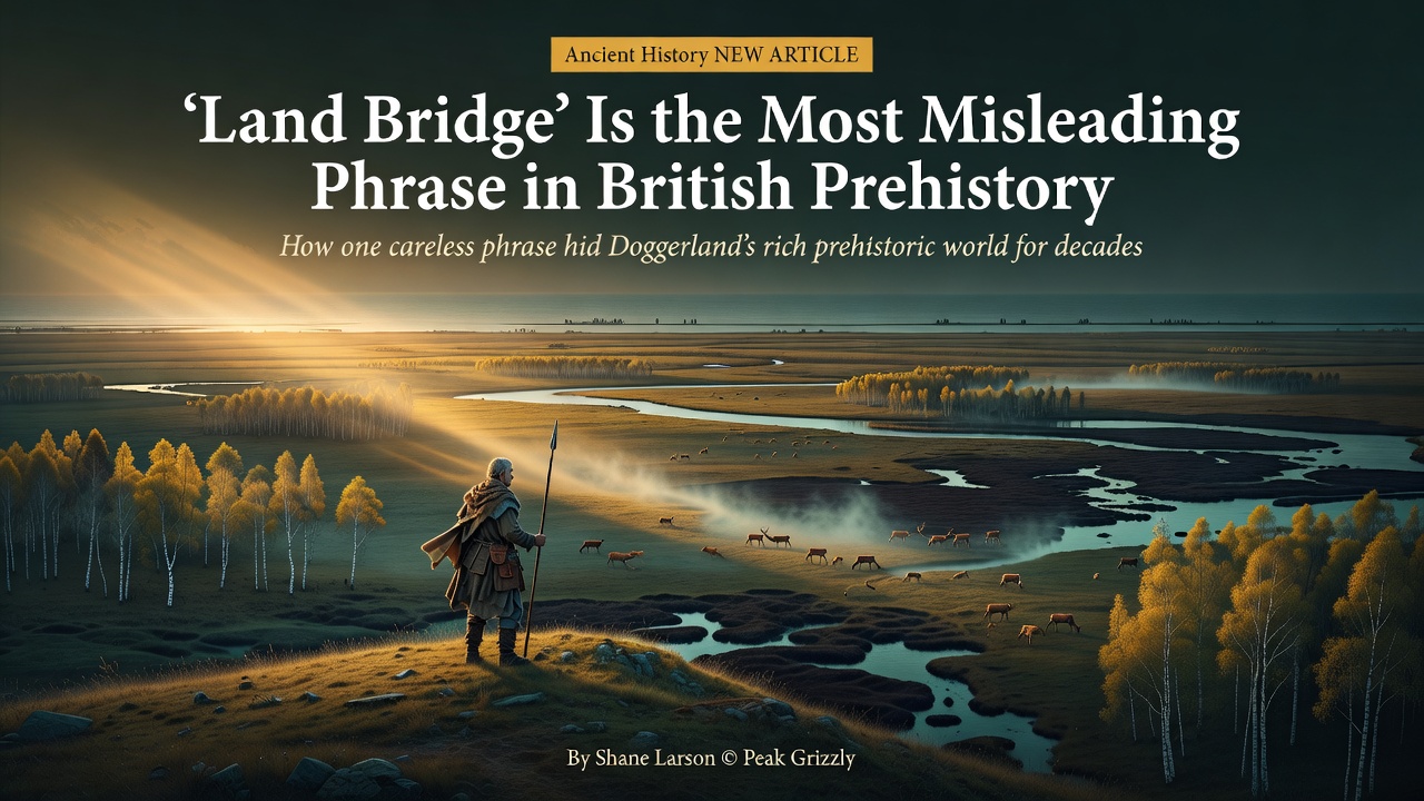
At the coldest point of the last ice age, around twenty thousand years ago, sea level stood roughly 120 meters lower than today, and the shallow basin between Britain and the Netherlands was not a strip of causeway but a continental plain — on the order of a hundred thousand square kilometers, comparable to England and Wales combined. As the climate warmed, that lowland became something remarkable: a country of rivers, lakes, reedbeds, and estuaries, where the Thames and the Rhine ran as neighbors, threading toward shared outlets. Low, wet, river-veined country is where the game concentrates, where the fish and wildfowl are, where the fuel and fresh water are. An estuary-and-marsh landscape is almost entirely edge habitat, and edge is where the food is.
Upland Britain, by contrast, was cooler, higher, and poorer in everything that mattered to the hunter-fisher-gatherers of the Mesolithic. It was not the prize on the far side of a crossing. It was the marginal fringe — the hilly western rim of the actual heartland, attached to the continent not by a neck of land but along the entire breadth of what is now sea. Britain was a peninsula the way Jutland is a peninsula. No hunter standing on that plain, surrounded by the richest habitat in northwestern Europe, would have understood the suggestion that the ground under his feet was a bridge, or that the chalk hills on the western horizon were the point of it all.
The people were not stragglers in transit. Tens of thousands of them, by reasonable estimates, lived whole lives there: seasonal rounds of camps, dugout canoes, nets and fish traps, composite tools, dogs. The center of gravity — ecological and human — was the lowland itself. The phrase "land bridge" inverts the actual geography of importance, and it did so in print, in classrooms, for decades.
What happens when you give a place a name
The frame finally broke in 1998, when the prehistorian Bryony Coles published a paper that did two deceptively simple things. First, it gave the drowned plain a name: Doggerland, after the Dogger Bank, the shoal that had been its high ground and would be its last land. The reasoning was explicit. Lands people live in get names; the plain had none, and its namelessness was both symptom and cause of its invisibility. You cannot study, fund, or protect a place with no name. Second, the paper drew speculative maps of Doggerland at successive stages of its drowning and treated every line on them as a claim to be tested. A bridge had never asked anything of anybody. The country demanded answers.
The answers came from an archive nobody had thought to ask. For decades, the oil and gas industry had been shooting seismic reflection surveys across the North Sea — sound pulses fired into the seabed to image deep hydrocarbon structures. Archaeologists realized that the shallow layers those surveys passed through on the way down, the ones petroleum geologists routinely ignored, contained the buried land surface itself. Repurposed, the data resolved into something extraordinary: river valleys still holding their shape beneath the marine mud, lake basins, coastlines — a map of a drowned country detailed enough that researchers began naming its rivers. Features no living person has ever seen now have names on published maps.
None of that required new ships or new technology. It required a new noun. The data had been sitting in industry archives for years; what was missing was a reason to look, and "bridge" had never supplied one. That is the uncomfortable lesson here, and it reaches well beyond archaeology: vocabulary is not decoration on top of thinking. The words available for a thing set the questions that get asked about it, and a sufficiently wrong word can keep a hundred thousand square kilometers of human history invisible — not hidden, not lost, just filed under a category nobody interrogates.
The country is still down there, mostly unexcavated, and fishermen still bring pieces of it up. The difference is that now we know what we are looking at.
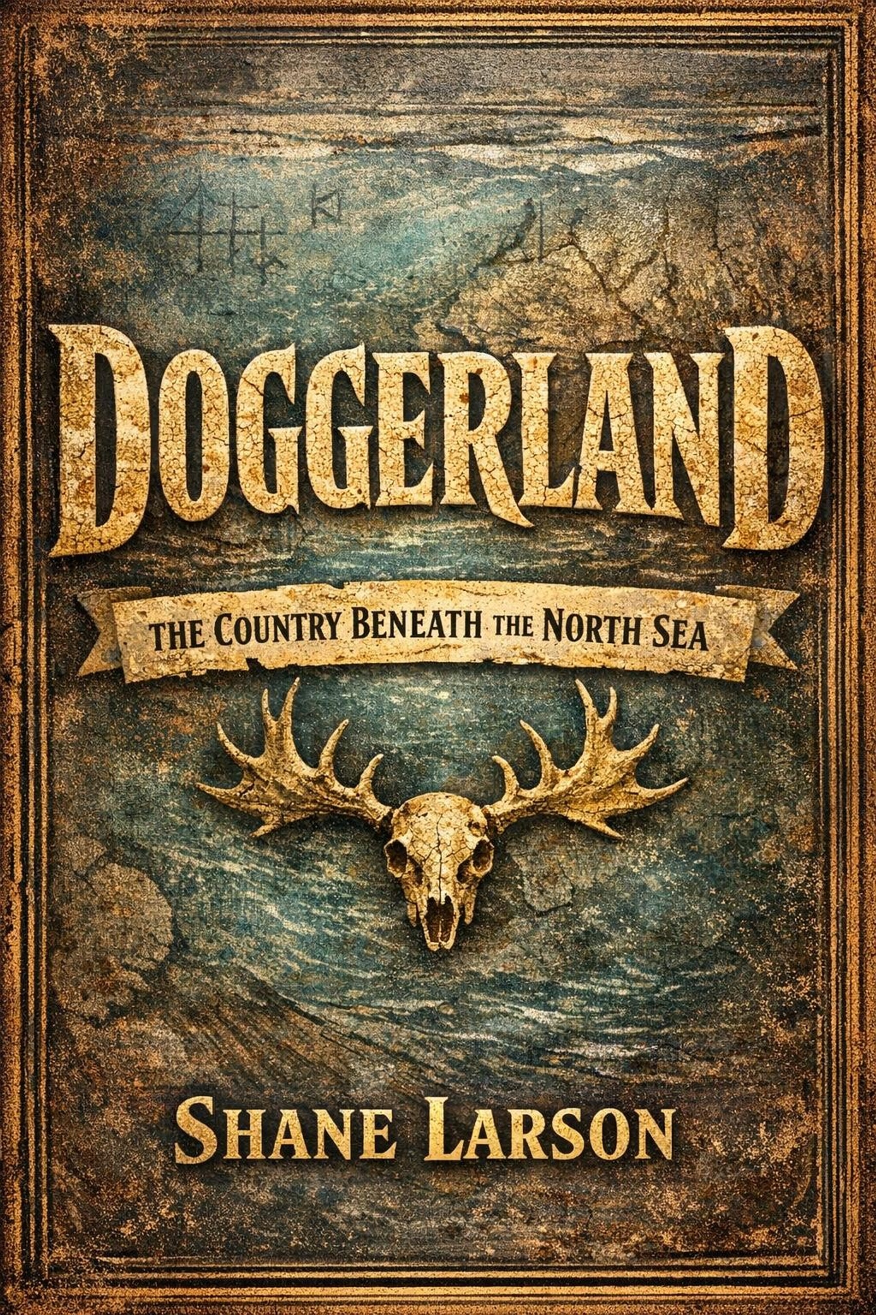
If this reframing interests you, my book Doggerland: The Country Beneath the North Sea goes much deeper — into who the people of the plain actually were, how the sea took the country back over a hundred human generations, and what the Storegga tsunami of around 6200 BC did, or may have done, to whatever was left. It is careful about the difference between what is known and what is guessed, because with a subject like this, the honest answer is often the more interesting one.
Doggerland
New posts and releases, straight to your inbox. No spam, unsubscribe anytime.