The Biggest City of the Medieval World Was Built on Water — and That's Exactly What Killed It
June 17, 2026
Ask most people to name the great cities of the medieval world and the same handful comes up: Rome, fading but unforgettable. Constantinople. Baghdad at its height. Chang'an in Tang China. Almost no one names Angkor.
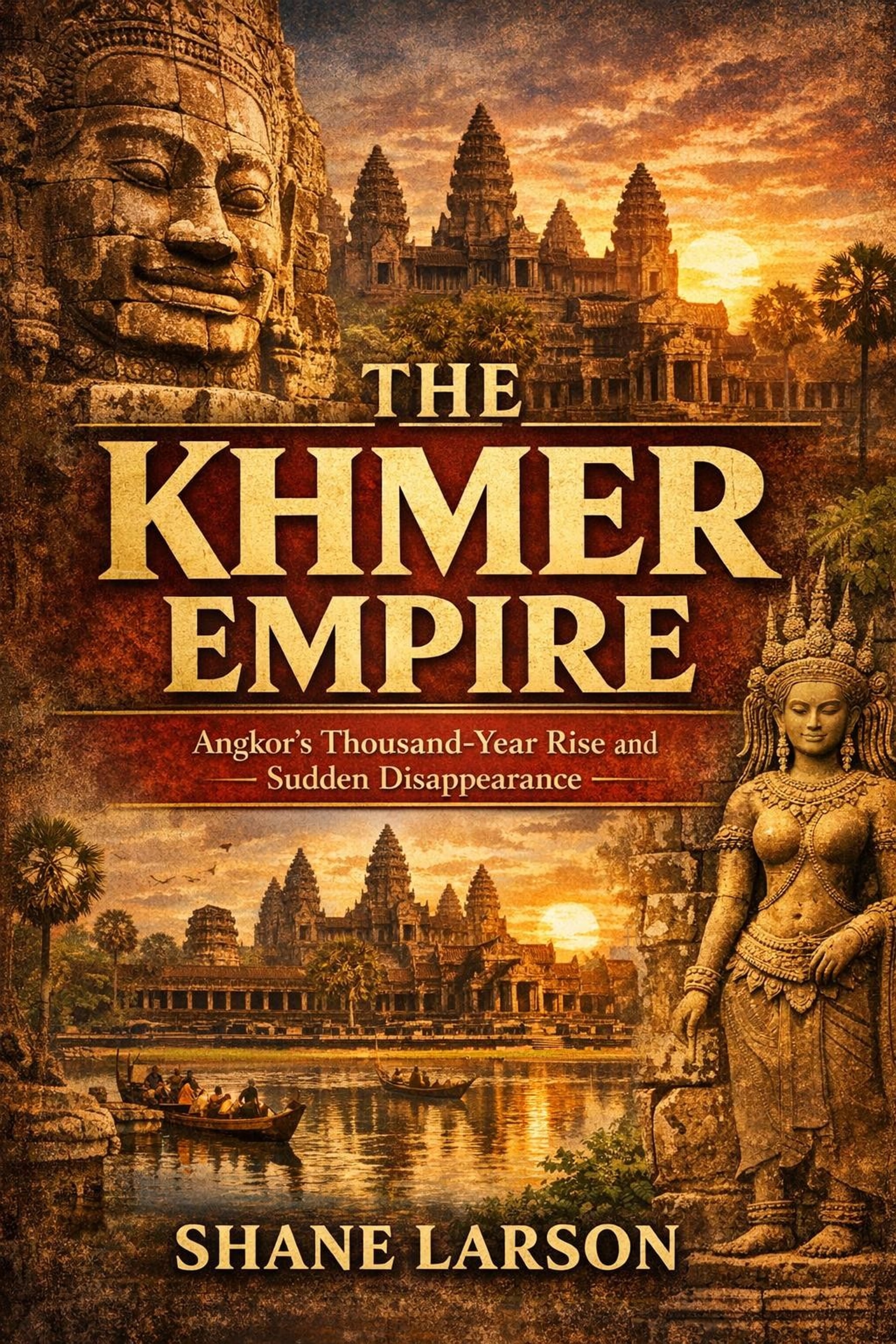
That's the strange thing about the Khmer Empire. At its peak it ran a metropolis that may have been the largest in the world — roughly three-quarters of a million people spread across a sprawl of temples, neighborhoods, roads, and waterworks. It raised Angkor Wat, the largest religious monument ever built by human hands, and crowned the Bayon with hundreds of serene stone faces gazing out in every direction. And then it disappeared so thoroughly that for centuries the wider world barely knew it had existed.
How does that happen? How does a civilization that big, that organized, that capable of monumental engineering simply unwind? The short answer, and the spine of my new book, is water. When the water worked, the empire worked. When it failed, Angkor fell.
A god-king and a clever idea about rain
The empire's traditional founding date is 802 CE, when a ruler named Jayavarman II climbed a sacred mountain and had himself declared a devaraja — a god-king, a universal sovereign. It was as much a political act as a religious one. He was binding a patchwork of competing chiefdoms into a single realm with himself, and the divine order he represented, at the center.
Over the next two centuries his successors turned that idea into a working state. The capital settled in the region we now call Angkor, on the plain north of the Tonle Sap, the great lake that swells and shrinks with the seasons. And that seasonal rhythm is the key to everything that followed.
Cambodia lives under the monsoon. For roughly half the year the rains come hard; for the other half, almost nothing. A civilization that wanted to grow rice — and grow large — had to solve a brutal problem: too much water at the wrong time, too little the rest of the year. The Khmer solution was to engineer their way out of it.
The hydraulic city
They built reservoirs on a scale that still impresses engineers. The largest of these barays stretched for miles, holding enormous volumes of water captured during the wet months. From the reservoirs, a network of canals, channels, and moats distributed water across the landscape and, crucially, into the rice fields during the dry season.
This is why scholars call Angkor a "hydraulic civilization." Its power didn't come from gold mines or a single conquered trade route. It came from the ability to capture, store, and move water — and to grow, on that managed surplus, enough food to support a population no medieval European city could match. The temples we admire today were possible only because the waterworks underneath them worked first. Angkor Wat is the monument everyone photographs; the barays and canals were the machine that paid for it.
Two kings tower over this golden age. Suryavarman II, in the early 1100s, built Angkor Wat itself — a temple-mountain of staggering ambition, aligned to the heavens and dressed in miles of carved relief. Decades later, after the capital was sacked by a rival power, Jayavarman VII rebuilt the empire and then some: he raised the great walled city of Angkor Thom, built the face-towers of the Bayon, and dotted his realm with rest houses, roads, and what the inscriptions describe as hospitals. Under these two rulers the empire reached as far as it ever would.
What LiDAR finally showed us
For a long time, even archaeologists underestimated Angkor. The temples were obvious — they're stone, and they survived. But the city around them was built largely in wood and has long since rotted into the soil, leaving only faint traces under dense forest.
Then came LiDAR. Aircraft flying over the jungle fired millions of laser pulses at the ground; by filtering out everything that bounced off leaves and branches, researchers could reconstruct the bare earth beneath the canopy. What emerged was a revelation: a vast, planned urban grid, with streets, ponds, mounds, field systems, and waterworks extending far beyond the temple precincts. Angkor wasn't a cluster of monuments in the wilderness. It was a true low-density city, one of the most extensive pre-industrial settlements ever found.
That discovery reframes the whole story. We're not talking about a religious complex that got abandoned. We're talking about a working megacity that came apart.
When the water stopped working
So what went wrong? Not one thing — several, reinforcing each other.
Start with the system's own fragility. A water network that large needs constant maintenance: canals silt up, embankments erode, channels have to be dredged and repaired year after year. The bigger and more complex it got, the more it demanded just to stay functional. That's a quiet kind of vulnerability, the kind that doesn't show until it's stressed.
The stress came from the sky. Climate records reconstructed from tree rings point to a turbulent stretch in the 1300s and 1400s — long, severe droughts broken by years of unusually intense rains. For a civilization tuned to a predictable monsoon, this was close to a worst case. Droughts starved the reservoirs; then violent floods tore through canals and infrastructure that had been weakened by neglect during the dry years. Sediment choked the channels. Repairs fell behind. The machine that fed the city began to fail.
Around the same time, the ground shifted beneath the empire in a different way. Theravada Buddhism, more austere and more personal than the grand state cults that came before, spread through Khmer society. It had little use for the god-king ideology that had justified six centuries of temple-building and centralized labor. As the religious logic of the devaraja dissolved, so did the engine that had mobilized enormous workforces to build and maintain. And to the west, a rising power, Ayutthaya, was growing stronger and more aggressive.
No single blow brought Angkor down. The water system failed gradually, the political and religious center of gravity shifted, the climate refused to cooperate, and a rival pressed in. By 1431 the great capital was emptying out. Power moved south, toward the rivers and the sea and the trade that flowed along them. The temples stayed. The city around them returned to forest.
Why it still matters
It's tempting to read Angkor as an exotic, faraway curiosity. I'd argue the opposite. The Khmer Empire is one of history's clearest case studies in a problem that isn't exotic at all: what happens when a society's prosperity depends on a large, complex piece of infrastructure, and the conditions that infrastructure was built for change.
Angkor didn't fall because its people were foolish. It fell because they were spectacularly successful, built a system perfectly matched to their world, and then watched that world shift underneath them faster than the system could adapt. That's not an ancient problem. It's a permanent one.
That's the question at the heart of my new book, The Khmer Empire: Angkor's Thousand-Year Rise and Sudden Disappearance. It traces the full arc — from Jayavarman II on his sacred mountain in 802 to the silent towers the jungle reclaimed — and it does it the way I try to do all of these: straight, evidence-first, no hype, grounded in the LiDAR work that finally let us see the city whole. If you've read my book on the Maya collapse, this is its companion on the other side of the world.
The water built the empire. When it failed, so did Angkor. The full story is worth your time — and it has more to say about our own century than its silence might suggest.